GIS & Digital Mapping
Let's map it out.
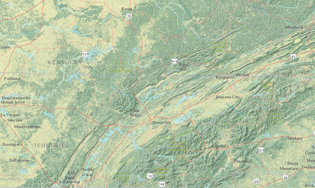
Fireborn Energy utilizes the industry's leading software, ArcGIS®, Geographix®, and Global Mapper®, to share every aspect of a project with our clients. Geographic Information System (GIS) applications integrate layers of data and information — such as pipelines, acreage boundaries or lease interests — that assist with project analysis and visual presentation of geologic information. GIS mapping is also crucial in public utility projects where rights-of-way need to be acquired.